A weather event “the size of Alaska” has put 10 million Australians under a weather warning as two major systems converge.
The Sunshine Coast, while on alert, appears to have escaped the most dangerous weather, with the Bureau of Meteorology predicting rain at times and the chance of a storm with possible falls of 15-25mm.
However, the Bureau says the big wet smashing NSW will continue and the Gold Coast and the state’s west are still in the firing line.
The BOM said every mainland state and territory except Western Australia was impacted by the weather event.
Warnings for heavy rain, damaging winds and heavy surf covered a size area similar to Alaska, it said.
Earlier, the bureau was warning parts of NSW could see another 300mm of rain in coming days.
Send your weather photos to photo@sushinecoastnews.com.au
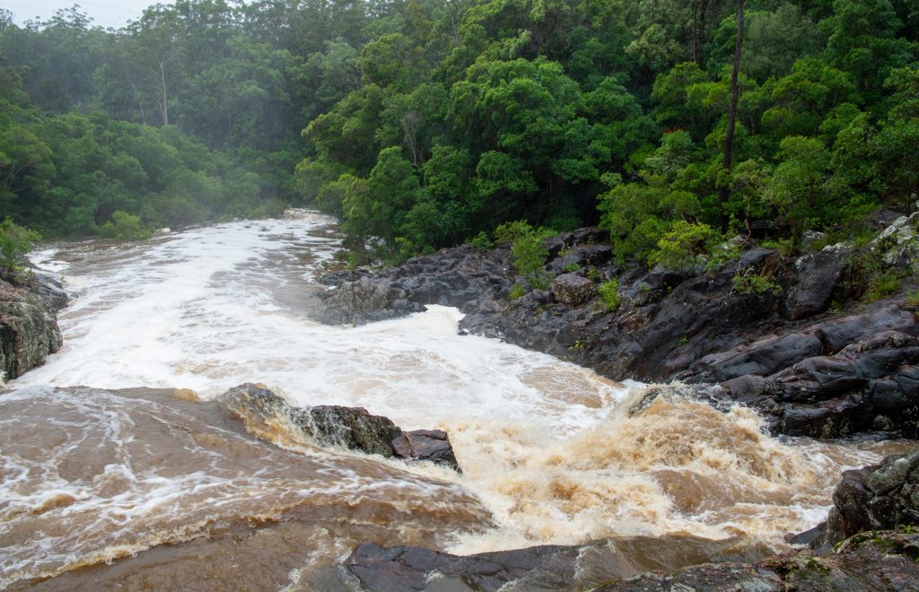
On the Gold Coast, where rivers have become heaving expanses of white water, police are evacuating residents after major landslips.
Some theme parks, including Dreamworld, have closed as the weather worsens, with the Gold Coast, Brisbane, and the Sunshine Coast on high alert, along with Channel Country communities as far west as Birdsville.
Premier Annastacia Palaszczuk urged Queenslanders to get home safely and stay there until conditions improved.
“We are in for a severe weather event. If you do not need to be on the roads, please don’t. We have already heard reports of some land slips that are occurring, especially in the Gold Coast hinterland.”
Police are helping people leave their homes in Crest Hill Drive and the adjacent Lanes Road at Wongawallan. It’s unclear how many households will need to leave.
Officers say the situation is still unfolding but the foundations of at least one home have been severely eroded, leaving it perched precariously on a hillside. Fences have also toppled over.
Some low-lying homes have also been inundated on the Gold Coast, but it’s not clear how many, Queensland Fire and Emergency Services said.
They include properties at Tallai and nearby Carrara.
A flood watch is current for a wide band of southern Queensland stretching from the South Australian border to the southeast coast.

Heavy falls and flooding are expected across western and southern Queensland.
Falls of 50-70mm are likely across the entire area, but there are likely to be isolated falls of 100-150mm in some areas, which will be compounded by bursts of storm activity.
“Minor to moderate flooding across rivers and creeks is likely over the next few days with isolated areas of major flooding possible,” the Bureau warned.
Catchments likely to be affected include the upper and lower sections of the Brisbane River, and major rivers and creeks on the Gold and Sunshine Coast.
Inland communities are also braced for potential flash flooding. At-risk communities include Warwick, Toowoomba, Dalby, Roma, Charleville, Birdsville, Emerald, Stanthorpe and Goondiwindi.
Seqwater is closely watching inflows at the dams it operates in the southeast but at this stage does not believe it will have to release water from Wivenhoe, Somerset and North Pine dams.
But un-gated dams are overflowing pushing water into already swollen waterways.
The State Emergency Service has received hundreds of calls for help since the rain set in over the weekend, and crews have been forced to stage at least six swift water rescues, four involving people trapped in cars.
One man was plucked from a tree in the southeast after having to abandon his car in floodwaters.
“There’s been inundation to homes, roof damage, trees down. Some of those calls involved multiple problems – water through the roof, coming up through the floor,” SES Queensland state co-ordinator Brian Cox told AAP.
“We’re nervous because there’s more severe weather predicted, and with the landscape already saturated it means we’re twice as likely to see more flash flooding.”
Parts of the Gold Coast recorded falls in excess of 200mm to 9am on Monday, including 263mm at North Tamborine, in the Gold Coast hinterland.
Brisbane city and surrounding suburbs also saw widespread falls of 100mm. Beachmere, north of Brisbane, recorded 208mm.
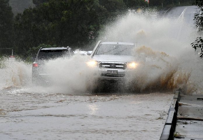
On Monday, flash flooding forced road closures at several locations on the Sunshine Coast after more than 170mm of rain fell in parts of the region in 24 hours.
Diversions were put in place at Tanawha, Pomona, Yandina, Bli Bli, Kunda Park and Doonan after consistent falls overnight.
Maroochydore recorded 161mm from Sunday morning to Monday morning, while Mountain Creek (159mm) and Sippy Downs (158mm) were also hard-hit.
Dams were filling and creeks were running freely due to the heavy rain, which came after days of showers.
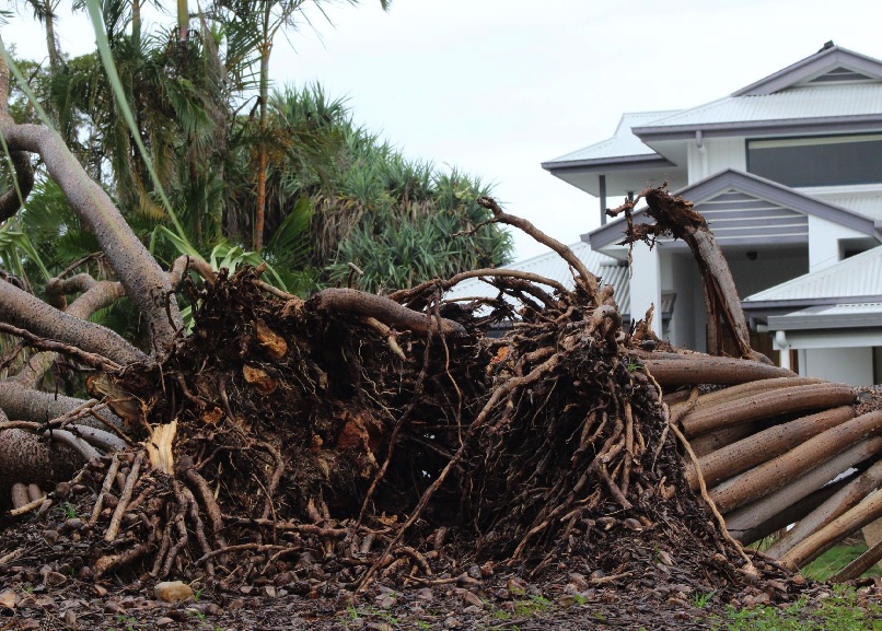
Trees keeled over, amid gusts of up to 50km/hr (Sunshine Coast Airport).

Local Disaster Coordinator Tom Jamieson said the road network had been impacted and Council’s disaster management team was keeping a close eye on the evolving situation.
He urged the community to access weather warnings and road closures at Council’s Disaster Hub at disaster.sunshinecoast.qld.gov.au.
“This one-stop-shop provides all the information our community requires regarding the local situation,” Mr Jamieson said.
For more information on weather warnings and road closures see Council’s Disaster Hub at disaster.sunshinecoast.qld.gov.au.


