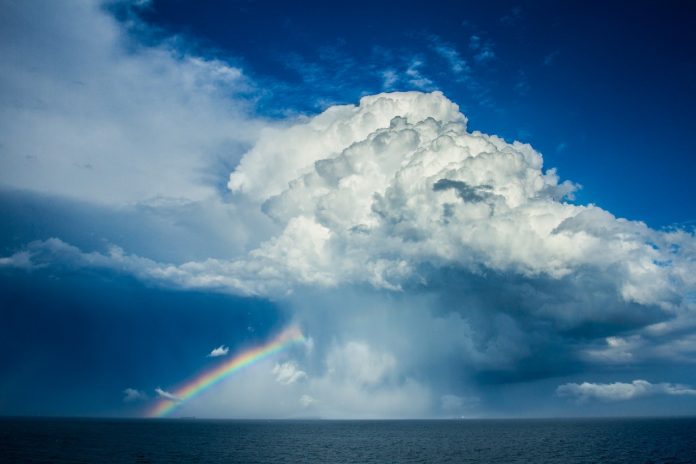
The Sunshine Coast appears set to dodge the deluge heading to the state’s southern border regions, NSW and Victoria.
Parts of NSW are expected to receive a month’s worth of rain over the next three days as residents along Australia’s east cost are warned to prepare for nasty weather.
Flood warnings are in place for parts of Queensland, NSW and Victoria as heavy rain and thunderstorms are forecast for the rest of the week.
The Bureau of Meteorology is urging residents of Queensland and NSW to prepare for flooding as daily rainfalls of 150mm or higher are expected.
The Sunshine Coast forecast is for an 90 per cent chance of showers Thursday, with the possibility of 8-15mm and the chance of a thunderstorm.
The Bureau says Friday will bring an 80 per cent chance of showers, possibility of 5-15mm of rain and the chance of a thunderstorm. It will be hot and sticky with a top of 30C.
The weekend and early next week look like offering perfect spring days: clear and sunny with temperatures ranging from 15C to 29C.
Other parts of the country, however, are in for some serious weather in coming days – which will be good news for farmers.
Western Queensland is expected to see three times their usual November rainfall.
Victoria, already battered by recent storms, is bracing for gusty south-easterly winds, particularly across southern and mountain area.
This is an unusual wind direction, and in combination with wet ground, will be more likely to bring down trees and powerlines as well as cause minor property damage.
Bureau of Meteorology Hazard Preparedness and Response East Manager Jane Golding said key areas of concern ranged from Queensland down through to Victoria, and included river catchments close to the NSW-Queensland border and along the western slopes in NSW.

“That’s why we’re warning people early to be prepared for this severe weather system,” Ms Golding said.
“This kind of heavy rainfall over a short period of time can cause dangerous flash flooding and combined with the fact that many river catchments down the east coast are already quite wet, there is a very real risk that we may see some rivers flood too.
“Please make sure you’re staying up to date with current forecasts and warnings and be careful when you are out and about this week.”
NSW SES acting commissioner Colin Malone said the storm season had just begun, and urged residents not to be complacent, to stay alert and have a plan.
“Just because your particular town may not have been called out, please remain aware of what is happening around you,” he said on Tuesday.
Many catchments likely to be affected by flooding are currently wet following previous rainfall.
Residents and visitors in affected areas are urged to closely monitor warnings and updates over coming days.
Make sure you are prepared: for information visit getready.qld.gov.au and Sunshine Coast Council’s Disaster Hub website disaster.sunshinecoast.qld.gov.au, to find the latest updates, practical resources and what to do before, during and after an emergency.


