UPDATE: Ex-Tropical Cyclone Seth may have a sting in its tail.
Forecasters say its remnants could cross the southeast coastline later this week, bringing damaging winds up to 100km/h.
Ex TC Seth is located well offshore, but the Bureau of Meteorology expects it to turn towards the Coast as it weakens.
The remnants of the system are forecast to drift west to northwest in coming days and approach the southeast coast on Thursday, or Friday.
This could bring strong winds and rain, according to the Bureau.
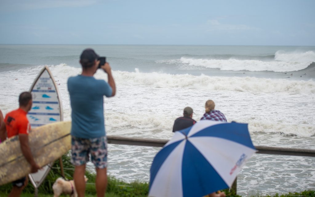
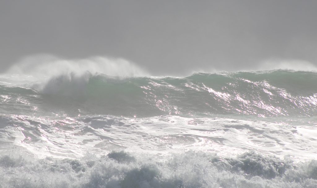
The Queensland Government’s wave monitoring buoy off Mooloolaba recorded a maximum wave height of almost 7m.
EARLIER
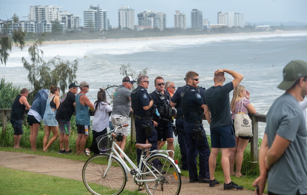
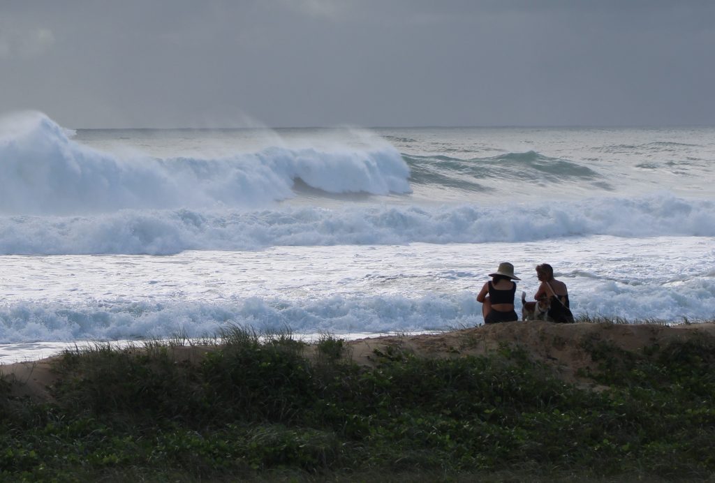
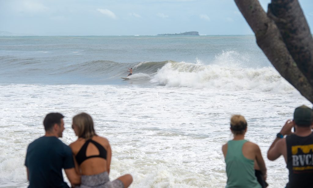
Thousands of locals and visitors ventured out to see the impacts of nature’s fury along Sunshine Coast beaches.
Tropical Cyclone Seth sent powerful winds and waves our way.
This combined with morning king tides created dramatic scenes along the foreshore.
SCROLL DOWN FOR MORE PICTURES
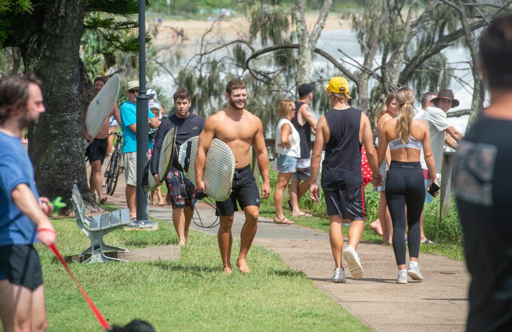
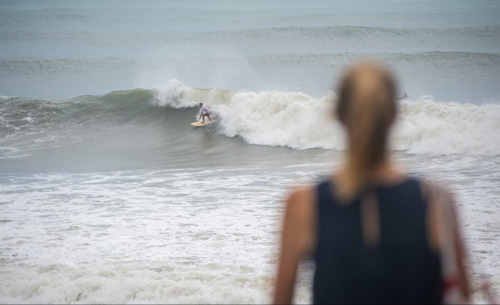
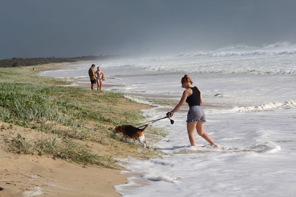
With the sun poking through Sunday and Monday, locals and visitors headed to the beach.
However, only experienced surfers took to the water, sticking to the more protected points at Alexandra Headland and Noosa National Park.
Spectators lined the headlands and shore from Caloundra all the way to Noosa.
The open beaches offered little room for morning walkers with the big seas and high tide surging up into the dunes.
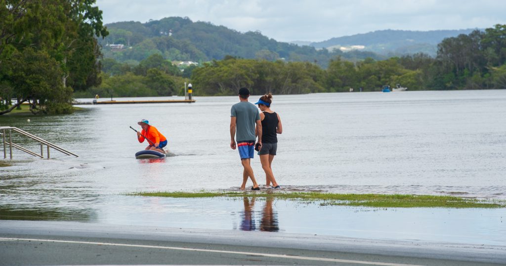
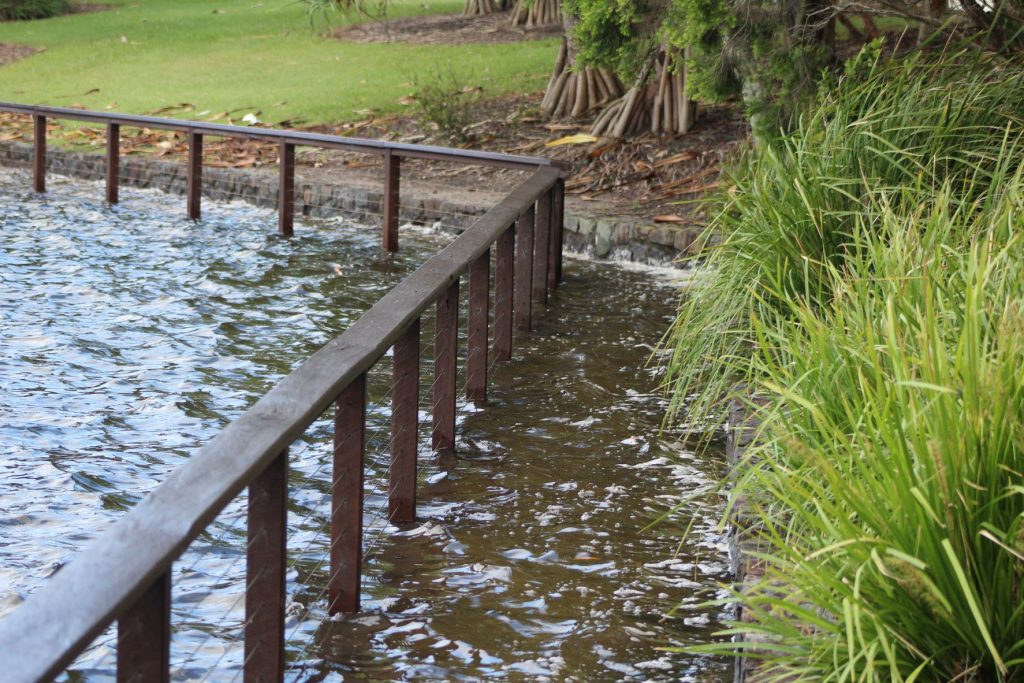
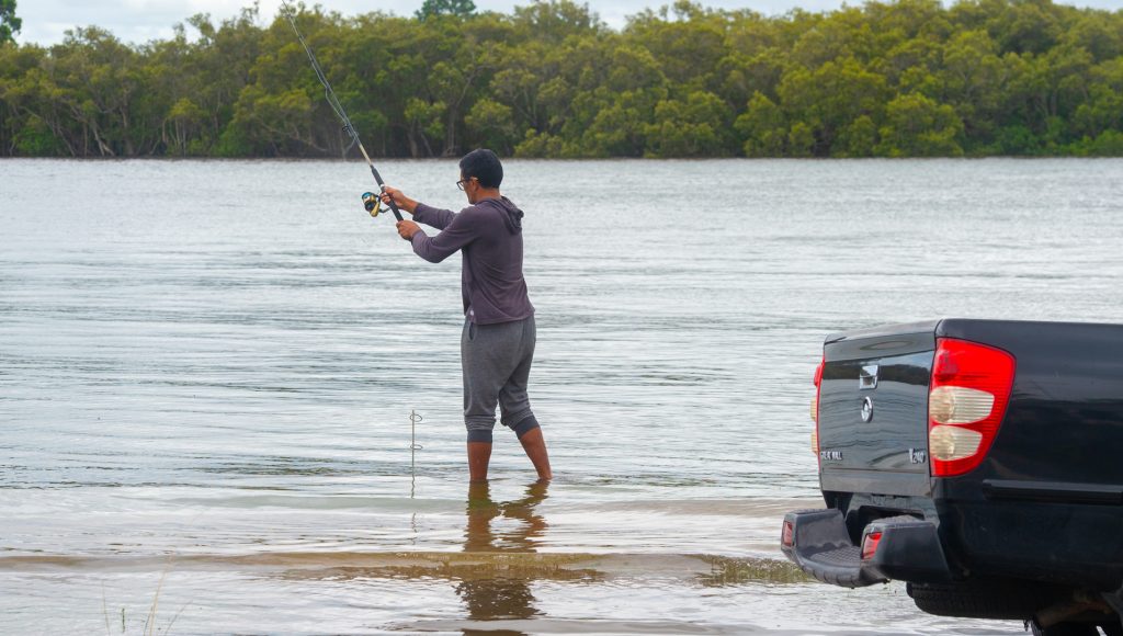
The swollen Maroochy River spilt up onto the foreshore along Bradman Ave, as it often does when conditions are as extreme as this.
The BOM issued a severe weather warning for abnormally high tides and dangerous surf for the southeast coastline with conditions deteriorating.
Local journalists supporting local people. Help keep independent and fair Sunshine Coast news coming by subscribing to our free daily news feed. All it requires is your name and email. See SUBSCRIBE at the top of this article
It said surf and swell conditions were expected to be hazardous for coastal activities such as rock fishing, boating, and swimming.