
UPDATE
Storms and rain have made their presence felt on the Sunshine Coast and heavy falls are expected in coming days.
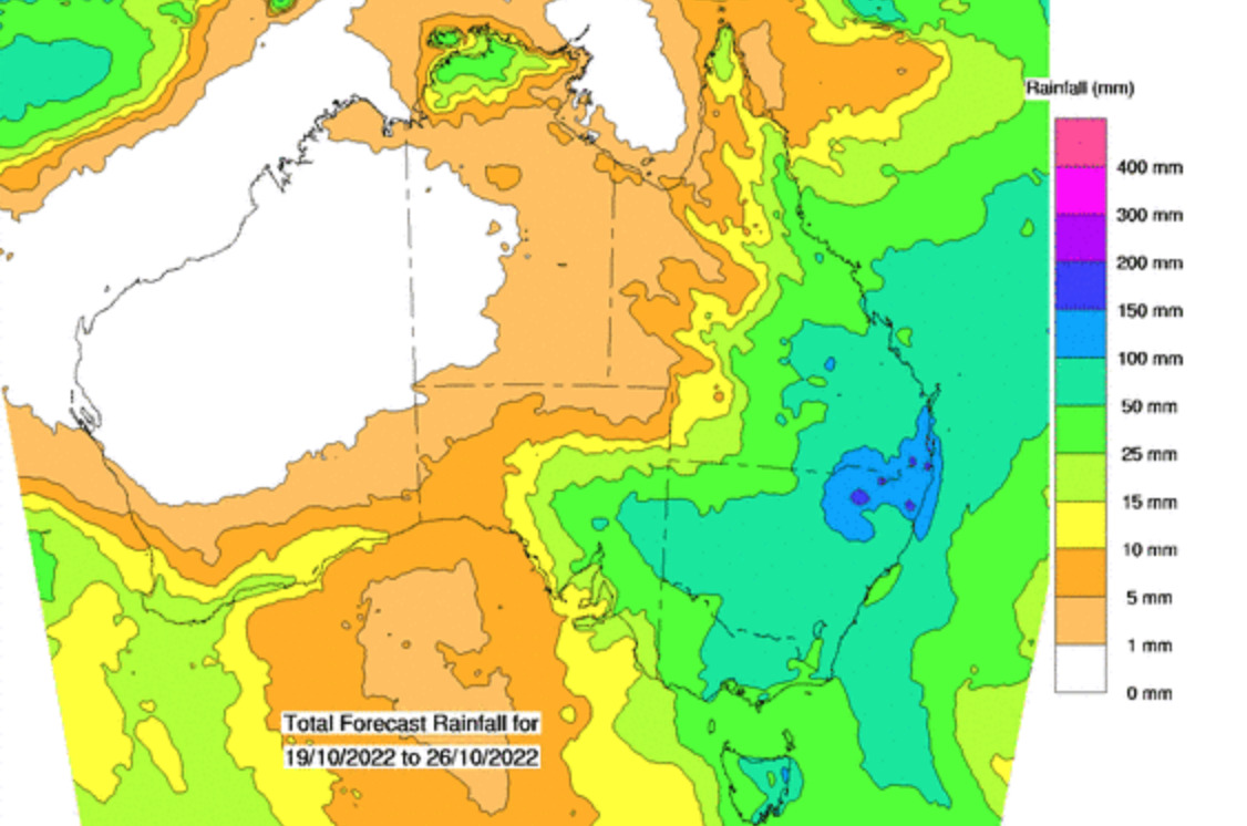
The Bureau of Meteorology on Friday morning predicted up to 110mm for the region from Friday to Sunday, which is about 30mm more than the forecast earlier in the week.
The Bureau also issued a warning for severe thunderstorms likely to produce heavy rainfall that may lead to flash flooding.
The BOM also issued an initial flood watch for South-East Queensland. A low or trough may develop on Friday and if a low approaches the coast then the chance for significant rainfall will be enhanced. Sunshine Coast rivers and creeks and the Noosa River could be affected.
EARLIER
It’s already beginning to look a lot like summer, as storms move into the Sunshine Coast.
Some wild weather, including scattered thunderstorms and up to 80mm of rain, is expected to impact the region from today until Sunday.
Bureau of Meteorology forecaster Helen Reid said a week of building humidity, at times above 90 per cent, should peak during the next few days.
“We’re looking at it being a stormy series of days ahead. There’s some potential for some severe thunderstorms developing, particularly on the range,” she said.
“One or two of them could drift further to the east, to the coast, and make life a bit more problematic there, as well.
“It’s likely that everyone will get some rain but it’s just a matter of whether you get a storm, which would give you more.”
Do you have an opinion to share? Submit a Letter to the Editor with your name and suburb at Sunshine Coast News via: news@sunshinecoastnews.com.au
Parts of the Sunshine Coast received some rain on Wednesday and Ms Reid expected 5-10mm of rain on Thursday, 20-25mm on Friday, 30mm on Saturday and 10-15mm on Sunday.
“But if you get a thunderstorm, you could possibly double your numbers,” she said.

Ms Reid said storms and rainfall had been steadily building during the past week.
“We’ve had drizzle because there’s been so much humidity around. It’s been trying to rain,” she said.
“Now, we have more of a trough, a focal point, coming through and that’s helping to lift all that moisture into a thunderstorm environment.
“We should get more of a summer feeling, with heavier falls, on and off, instead of wondering whether it will rain or not.”
READ MORE: ‘Not a matter of if, but when’: wild weather on the way.
She said temperatures won’t be high, but it should remain muggy.
Ms Reid also said rain could ease next week, “but we are just in that really humid environment, so we would need to have a fairly significant cold change come through to change the air mass and get rid of all that humidity”.
The conditions are all part of a third straight year of La Nina, when the western Pacific Ocean is warmer than usual, the trade winds are stronger, and the moist air is pushed onto Australia.
“All that extra moisture is feeding in, thanks to La Nina,” she said.
“The Indian Ocean Dipolar (warm water in the eastern Indian Ocean that leads to humid air flowing towards Australia) is also helping moisture come in from that north-west cloud band that is streaming down from the tropics.
“I would be surprised if we have any sense of let-up for the next couple of months. It will probably be like this, on and off, for quite a while.”
READ MORE: Storm ‘myths’ debunked in lead-up to summer.
La Nina and the Indian Ocean Dipolar are believed to behind the extensive rain and flooding in Victoria, southern New South Wales and parts of Tasmania, during the past week.
SUBSCRIBE here now for our FREE news feed, direct to your inbox daily!
