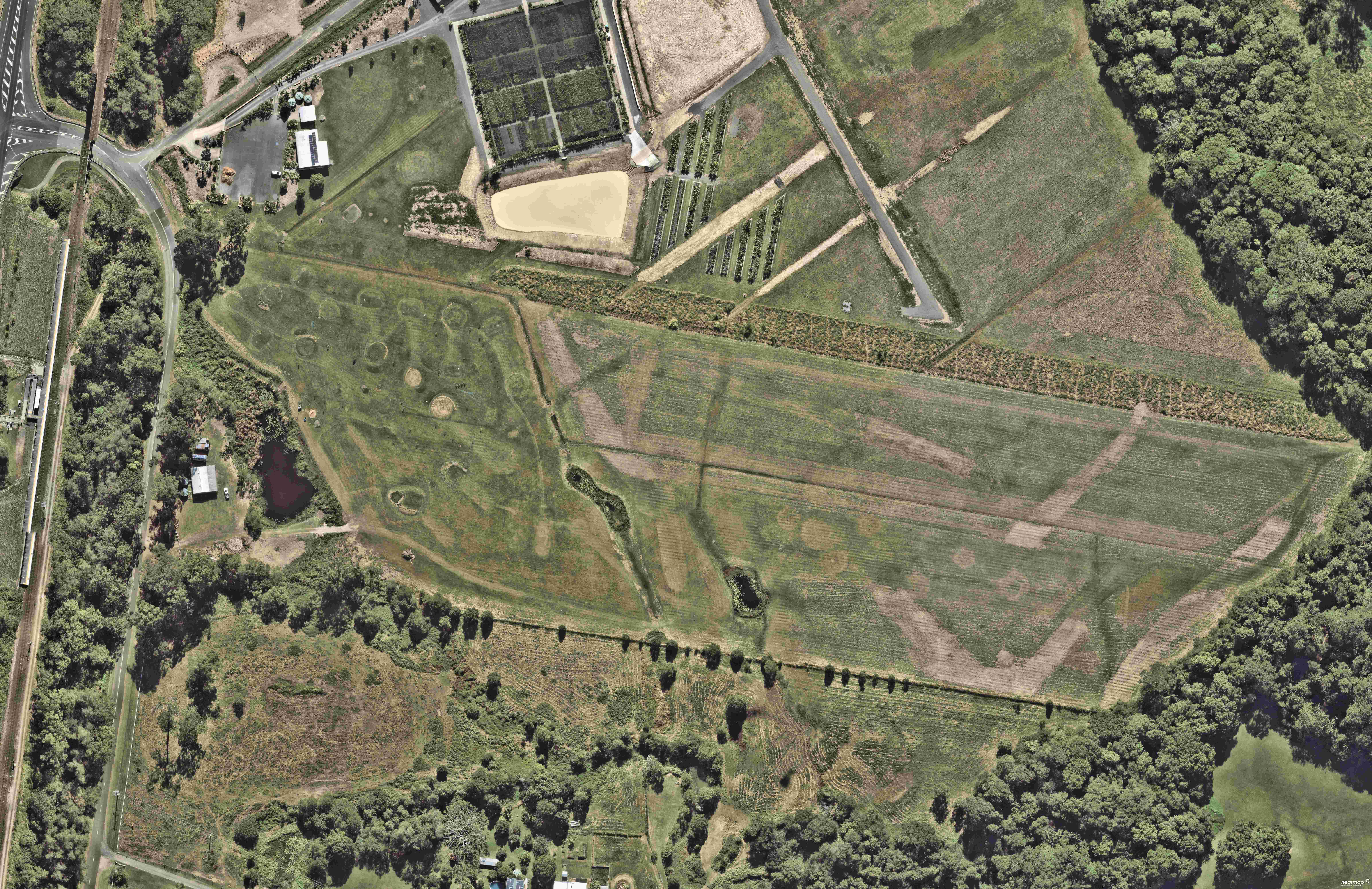
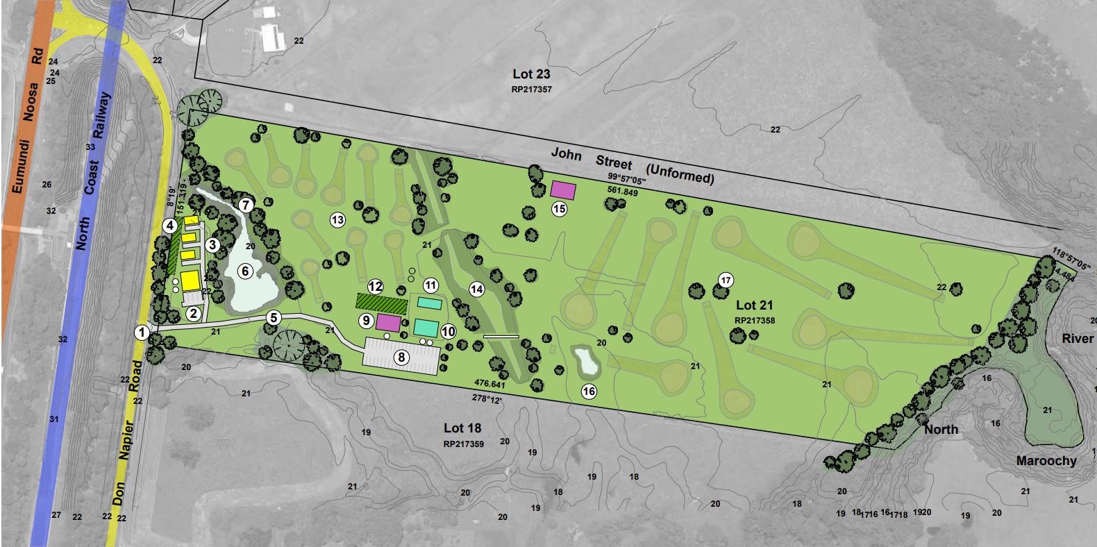
Plans for a 10-hole pitch and putt golf course and driving range in a popular hinterland town have been submitted to Sunshine Coast Council.
The application for the 7.7-hectare site at Eumundi also includes three short-stay accommodation cabins, a golf simulator and a small clubhouse and bar.
The development application planning report, submitted by Pivotal Perspective on behalf of applicant James Douris, said the proposed facilities would add to the tourism value of the town.
“The pitch and putt golf course allows for kids and small groups the ability to hit a round of golf in less than half an hour,” it says.
“The format is compatible with the Eumundi tourist town and allows for residents and visitors an option to undertake a tourism-based activity close to town.”

The site is on Don Napier Road, directly to the east of Eumundi train station and less than 250m from the Eumundi markets and commercial centre.
A golf driving range operated on a neighbouring property from 2014 to 2020.
“During this time, the current site was used for some golf activities, prior to the adjoining site being sold and converted into a commercial nursery,” the application says.
The development would be done in two stages. The first stage would include the 10-hole pitch and putt course, a driving range with raised greens, a golf simulator within an existing shed, the clubhouse and bar, a caretakers’ residence, maintenance sheds, wastewater treatment irrigation area, revegetation and new entry driveway. Stage two would include the short-term accommodation units and associated car parking, and the potential conversion of a shed to a dwelling house.
Forty car park spaces would be provided for the golf course and four for the short-term accommodation.

“The design of the golf and short-term accommodation uses have been designed to minimise any significant effects on rural amenity from noise or traffic generation, with the use limited to daylight,” the application said.
The site is on part of the Maroochy River floodplain but the application said a golf course is an appropriate use for a flood-affected site, with buildings located above flood levels.
“Many of the buildings will be constructed as ‘tiny homes’ for the short-term accommodation and the small-scale clubhouse/bar on a small building pad,” it said.
The material change of use application was made on June 20.
The aerial imagery in this story is from Australian location intelligence company Nearmap. The company provides government organisations, architectural, construction and engineering firms, and other companies, with easy, instant access to high-resolution aerial imagery, city-scale 3D content, artificial intelligence data sets, and geospatial tools to assist with urban planning, monitoring and development projects in Australia, New Zealand and North America.
Scroll down to SUBSCRIBE for our FREE news feed, direct to your inbox daily.


