
Christmas festivities on the Sunshine Coast could be interrupted by wet and stormy conditions during a muggy summer’s day.
The Bureau of Meteorology’s forecast for Monday includes a high chance of showers, most likely in the afternoon and evening, and the chance of a thunderstorm.
It should also be a warm day, with light winds and temperatures ranging from 21 to 32 degrees Celsius.
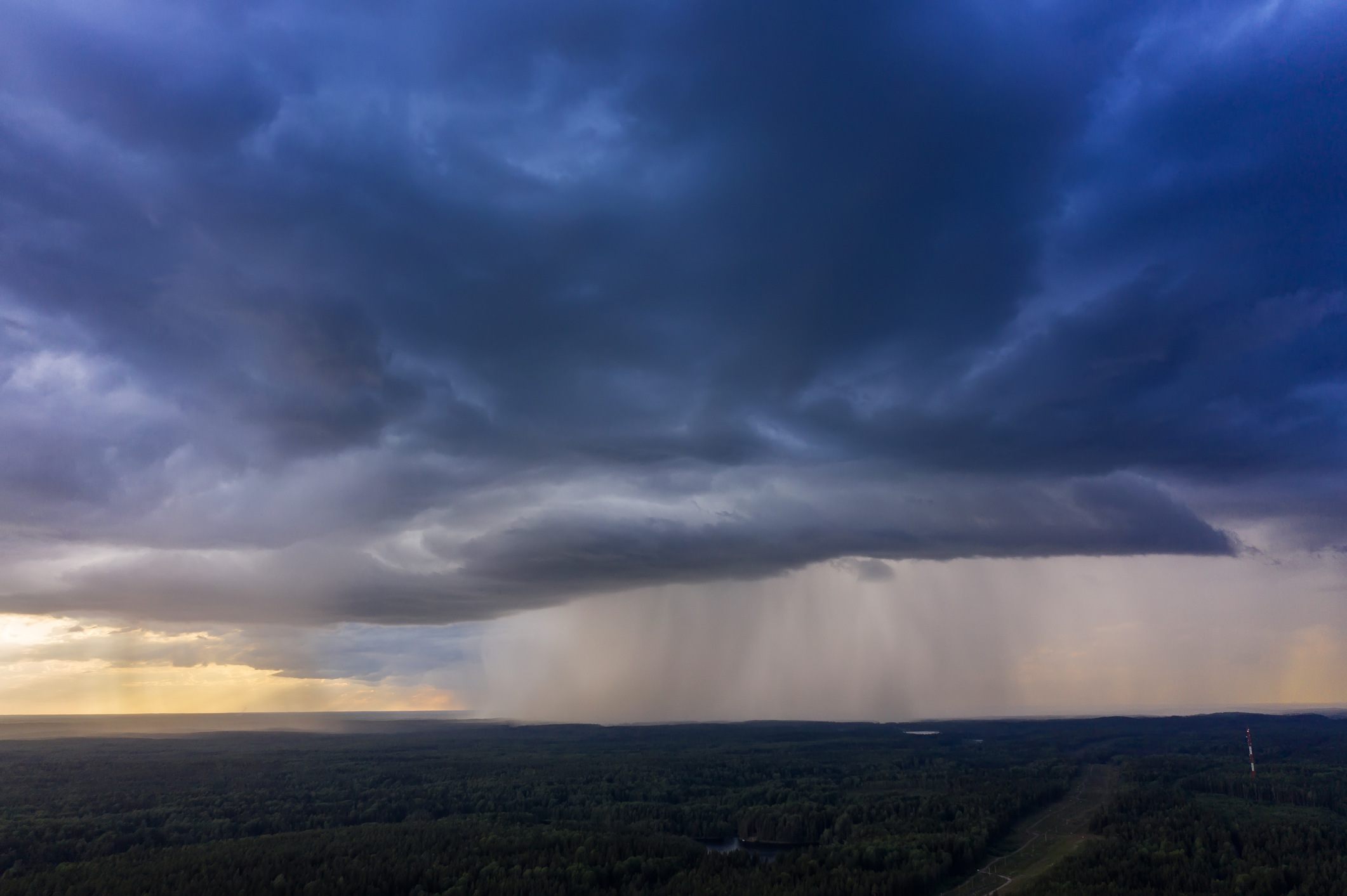
The forecast comes after storms rolled through the region on Thursday night, bringing heavy rain to some areas.
BOM community information officer Daniel Hayes said some wet – and potentially wild – weather could be present during the next week.
“There is a trough that should bring shower and thunderstorm activity from Thursday right through to Boxing Day,” he said.
“At the moment the focus of the trough is around the Maranoa, Warrego and Channel Country, but it should start to drift eastwards in coming days.
“It should weaken and broaden into an area of low pressure that will include South-East Queensland.
“We’ll have a couple of upper-level troughs as well, which is going to reinforce that activity.”
He said there was an 80 per cent chance of rain, with possible rainfall of up to 15mm, for Christmas Day, and much the same on Boxing Day.
It’s also likely to be relatively warm.
“Temperatures should be around average until about Christmas Eve on Sunday, but as that trough weakens and we see a weakened wind regime, it will allow things to warm up,” he said.
“So, around Christmas Eve and Christmas Day there should be temperatures of about 32 to 33 degrees for the Sunshine Coast, which is a couple of degrees above average for Christmas Day.
“Nothing too extreme, but just a bit warmer, with that chance of shower and storm activity most likely later in the afternoon.
“The morning should be pretty good, then warming up through the day and then potentially a shower or storm later in the day.”
Friday, December 22, looms as the most likely day for significant rain (95 per cent, 5mm to 20mm).
Storms on Thursday night brought heavy rain to parts of the Sunshine Coast, with the heaviest falls at Kiels Mountain (83mm) Diddilibah (82mm), Sippy Downs (81mm) and Nambour (80mm). Major centres also had decent rain, including Maroochydore (55mm), Noosa and Caloundra (39mm).
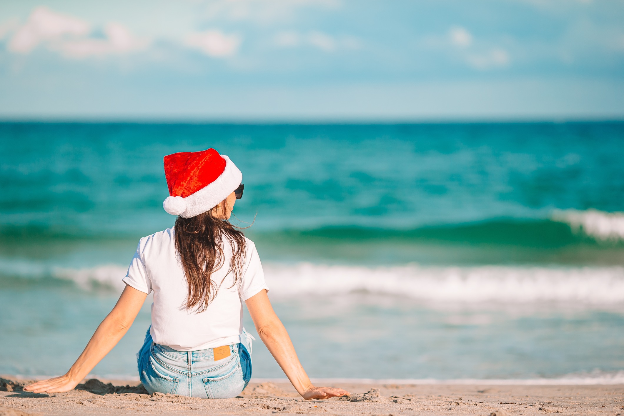
Mr Hayes said the surf should be average around Christmas, with light winds and swells of about 1m closer to shore.
He said the BOM was uncertain about the weather for New Year’s Eve and New Year’s Day and it would have a better idea in coming days.
Maroochydore forecast
- Friday, December 22: Showers. Up to 25 degrees. Cloudy. Very high chance of showers (95 per cent). Possible rainfall of 5-20mm. The chance of a thunderstorm. Light winds.
- Saturday, December 23: Shower or two. About 19-27 degrees. Partly Cloudy. High chance of showers (80 per cent), most likely from the late morning. Possible rainfall of 0-3mm. The chance of a thunderstorm. Light winds becoming SE 15-20km/hr, then light in the evening.
- Sunday, December 24: Showers. Possible storm. About 21-28 degrees. Partly cloudy. Very high chance of showers (80 per cent), most likely in the afternoon and evening. Possible rainfall of up to 10mm. The chance of a thunderstorm. Light winds becoming NE 15-20km/hr, then light in the evening.
- Monday, December 25: Showers. About 21-32 degrees. Partly cloudy. High chance of showers (80 per cent), most likely in the afternoon and evening. Possible rainfall of up to 15mm. The chance of a thunderstorm. Light winds becoming N 15-20km/hr during the day then becoming light in the afternoon.
- Tuesday, December 26: Showers. About 21-33 degrees. Partly cloudy. High chance of showers (80 per cent). Possible rainfall of up to 10mm. The chance of a thunderstorm. Light winds becoming N to NW 15-20km/h during the morning.
