A man has been rescued from floodwaters in the Sunshine Coast hinterland, after heavy rain drenched the region.
The man was plucked out of a swimming hole by swift water rescue crews who found him up against a tree, near Beerwah.
Seven crews attended a property off Emma Place at about 2.40pm on Friday and the man was on dry land by 3.30pm. He was taken by ambulance, in a stable condition, to the University of the Sunshine Coast Hospital.
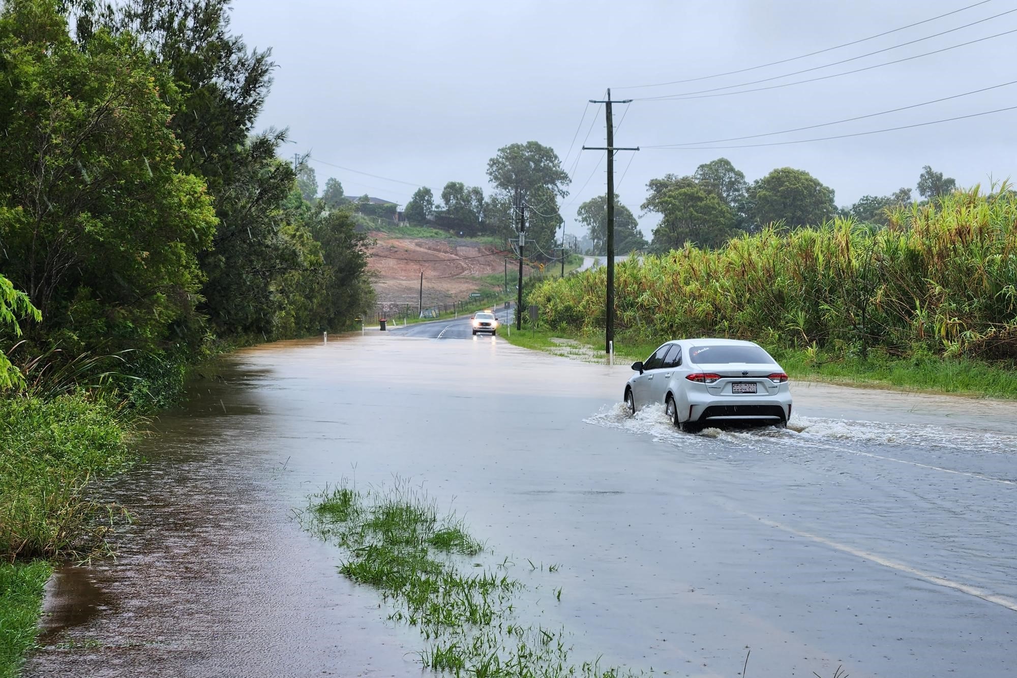
Emergency services were also called to a scene on Collins Road at Ninderry, where a vehicle was in the water. The occupants made their way to safety and did not require assistance.
The incidents came after overnight rain developed into intense falls by mid-morning.
Do you have an opinion to share? Submit a Letter to the Editor at Sunshine Coast News via news@sunshinecoastnews.com.au. You must include your name and suburb.
An initial flood warning was issued for rivers and creeks in the Maroochy catchment by mid-afternoon.
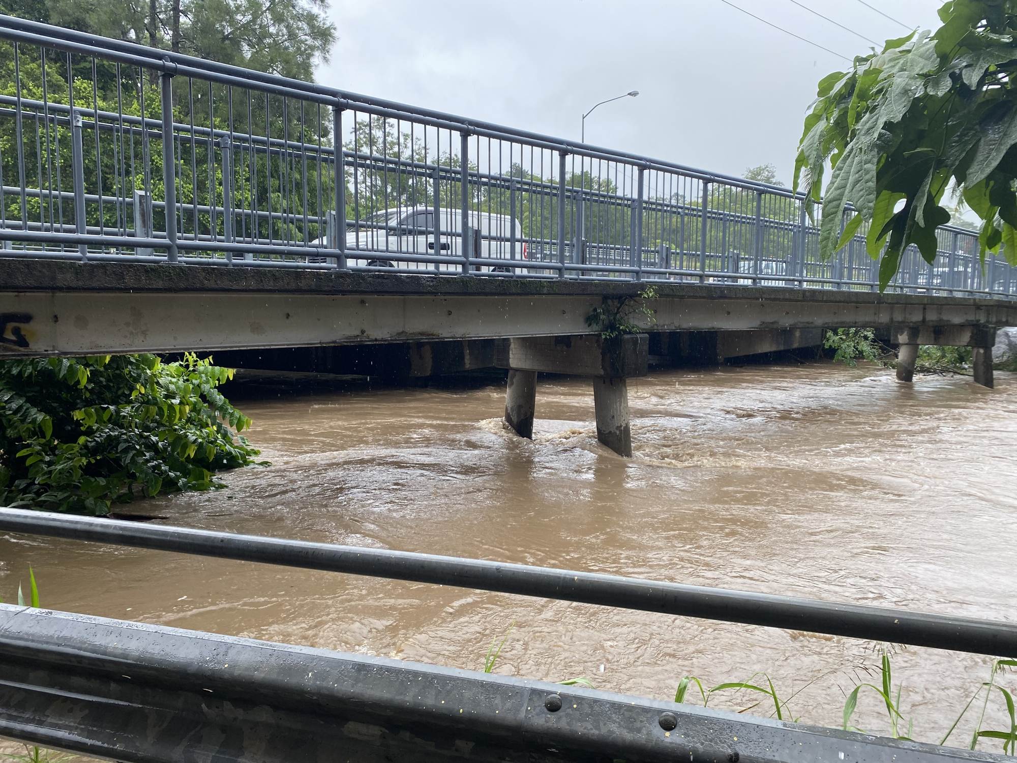
More than 100mm of rain was recorded across the catchment from 9am to 2.30pm. This was in addition to the almost 90mm recorded in the previous 24 hours, which has led to rapid river and creek level rises across the Maroochy River catchment.

More than 50mm of rain was recorded within just a couple of hours at some locations this morning, including Sunshine Coast Airport, Maroochydore, Nambour, Yandina Creek and more.
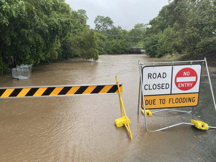
Severe thunderstorm warnings were issued for heavy rainfall that may lead to flash flooding and multiple roads were closed, including at Nambour, Forest Glen, Yandina Creek and Obi Obi.
The drenching came two weeks after the region was swamped by a rogue system that caused flooding around the region.
Bureau of Meteorology meteorologist Pieter Claassen explained the latest downpours.
“What’s driving this weather is a coastal trough, in conjunction with an upper trough coming through from the west,” he said.
“Often, these setups give us potentially heavy rainfall in South-East Queensland.
“Some of the creeks have risen pretty rapidly and there is a minor flood warning on the Mary River at Conondale.
“Everything is so saturated (from a wet summer) so flash flooding is definitely a risk within the heavy cells.”

He said rain should generally diminish in the region, but sudden bursts could still occur.
“The overall trend is for it to ease throughout the day but there is still the risk of pockets of heavy rainfall,” he said.
There should be some showers tomorrow, “but nothing like the widespread activity we have seen today”, easing further on Sunday.
The severe weather warning was cancelled at 12.38pm, but the BOM said the situation would continue to be monitored and further warnings could be issued if necessary, while the initial flood warning was issued at 2.46pm.
Local journalists supporting local people. Help keep independent and fair Sunshine Coast news coming by subscribing to our FREE daily news feed. All it requires is your name and email at the bottom of this article.


