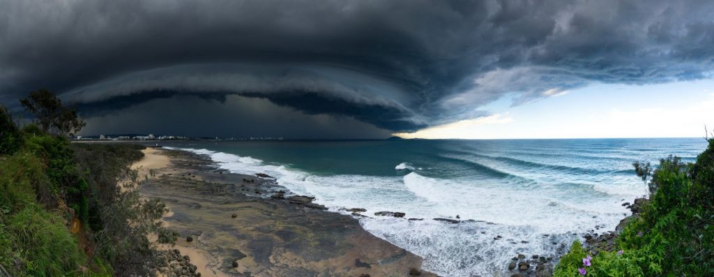
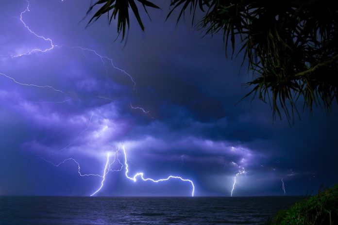
A leading forecaster has warned a once-in-a-decade storm season is about to descend on Queensland, but what’s in store for our region?
In Sunshine Coast News on August 25, renowned weather expert Hayden Walker revealed his extreme prediction for spring and summer.
Mr Walker, a fourth-generation forecaster and son of world-famous weather expert Lennox Walker, predicted then that this storm season would arrive earlier and be the most violent and sustained in several years.
Right on cue, potentially dangerous weather is expected to hit the region in coming days and he said this would “be just a taste” of what was to come.
We are likely to see some wild weather on Thursday and Friday, but then there will be a burst of mainly fine weather for the long weekend that rounds out the Spring school holidays.
Mr Walker said the Sunshine Coast would see thunderstorm activity with hail, powerful winds and localised flooding later in the first week of October and these would continue for most of the month.
November would also be very active and there would also be an increased frequency of storms compared to previous years.
Do you believe in independent and fair news? Help us keep more coming by subscribing to our free daily news feed. All it requires is your name and email. See SUBSCRIBE at the top of this article
“Rainfall for September has been poor to say the least, but it’s not a month known for rain,” Mr Walker said.

“However, this is all about to change as solar activity has intensified and heavy storm activity is to commence leading into October,” he said.
Mr Walker has given the Sunshine Coast region a 3-5 rating for rainfall for October. A 3 means totals between 41mm-85mm and 5 more than 200mm.
What to expect
“Widespread showers and local heavy falls are indicated at the beginning of the month for the South-East, and Southern and Central Districts, before extending to the Central Coast.
“In the second week of October, intense rainfall will spread to two thirds of the State, not quite to the Peninsula.
“The third week will see rainfall from the West to the Coastal areas.
Mr Walker said that during the last week of October, a large cloud band will signify rainfall from the western border areas through to the coastal regions.
He predicted strong north to north-west winds to blast South-East Queensland during the middle and end of the month.
In the longer term
“All three months of summer will see storm activity well above the average, compared to previous years.
Get more stories like this direct to your inbox by subscribing to our FREE daily news feed: Go to SUBSCRIBE button at top of this article to register
“Not only will there be hail, gale-force winds and associated flooding, these weather extremes will affect infrastructure, emergency services, property owners and the economy due to a loss of produce.”
Mr Walker’s predictions are shaped by monitoring solar flares, analysing historical data, and observing planetary relationships and orbital patterns.
The Bundaberg-based research director and principal of Walker’s Weather, has a strong association with the Sunshine Coast as his family previously called Crohamhurst Observatory at Peachester home.
He and his research team are engaged by insurance firms, farmers and construction and mining companies to predict extreme weather events that can make or break industries.
Get ready for storm season:
For information on how to prepare for storm season go to: getready.qld.gov.au


