Beachgoers can help prepare and protect coastal areas from the impacts of a changing climate, by taking photos at locations around the Sunshine Coast.
Changes in the region’s coastline are carefully monitored by Sunshine Coast Council and now you can contribute to research, by capturing a snap with your smartphone at one of three new CoastSnap locations.
CoastSnap is a global citizen science project founded by the University of NSW, designed to measure beach erosion/changes and recovery over time.
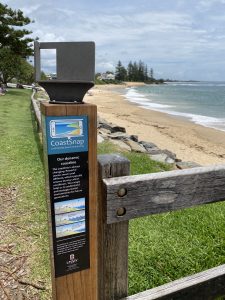
Thanks to the Sunshine Coast Council Environment Levy, there are four stations across the Sunshine Coast – an existing station at Alexandra Headland (beach access 156) and three new stations at Buddina (beach access 199), Coolum (north of beach access 81) and Moffat Beach (beach access 274).

The initiative is part of the Coastal Hazard Adaptation Strategy.
“A lot of work has gone on behind the scenes over several years to inform the long-term management of our coastline,” Environment Portfolio Councillor Maria Suarez said.
“And now our community has the opportunity to contribute to that research using CoastSnap.
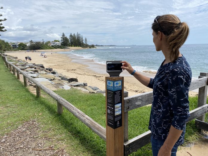
“Simply head to one of our CoastSnap stations, take a photo and upload it to the free CoastSnap app.
Help keep independent and fair Sunshine Coast news coming by subscribing to our free daily news feed. All it requires is your name and email. See SUBSCRIBE at the top of this article.
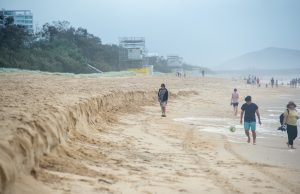
“The amount of sand on a beach is constantly changing, and the snap is an accurate record of the shoreline at that moment in time.
“The technology behind CoastSnap compiles the images into time-lapse video to track changes to our shoreline, giving researchers and council’s engineers insights into how our beaches change and recover after storms, big tides and severe weather, as well as measure long-term environmental change such as sea level rise.

“It will also provide valuable data and information to complement our current beach monitoring program to inform council’s decision making processes and keep our beaches healthy.
“CoastSnap relies on repeat photos of the same location to track changes so I encourage everyone to start, and keep, snapping.”
Visit council’s website for more information on CoastSnap and locations across the Sunshine Coast.


